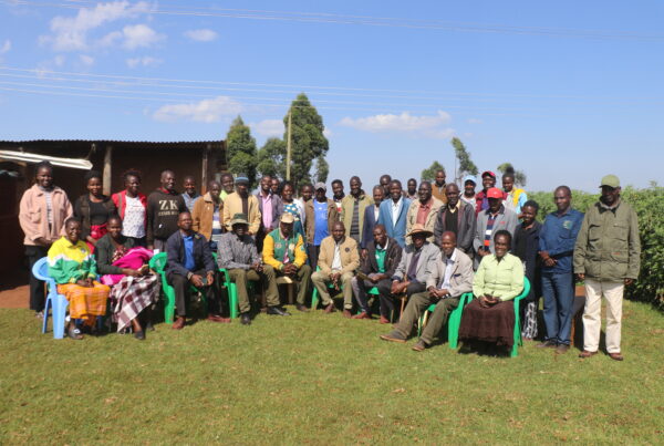
Every three months, trained teams of community monitors from CIPDP set out across Mt. Elgon region to document biodiversity.
The teams apply several data collection methods. Some work with quadrats, sampling fixed plots to assess bamboo health, regeneration and patterns of use. Others work with line transects, traversing defined route and recording data they encounter along. Data is captured on smartphones through the Mapeo App (from Awana Digital). A third group deploys camera traps at strategic locations to capture the rare and elusive wildlife that rarely reveals itself to direct observation.
As the dataset grows, it shows the remarkable biodiversity Mt. Elgon region sustains. Difficult terrain, unpredictable weather and the competing demands on people’s time all weigh against the exercise, yet the monitors have maintained consistency and commitment that are central to the project’s success.

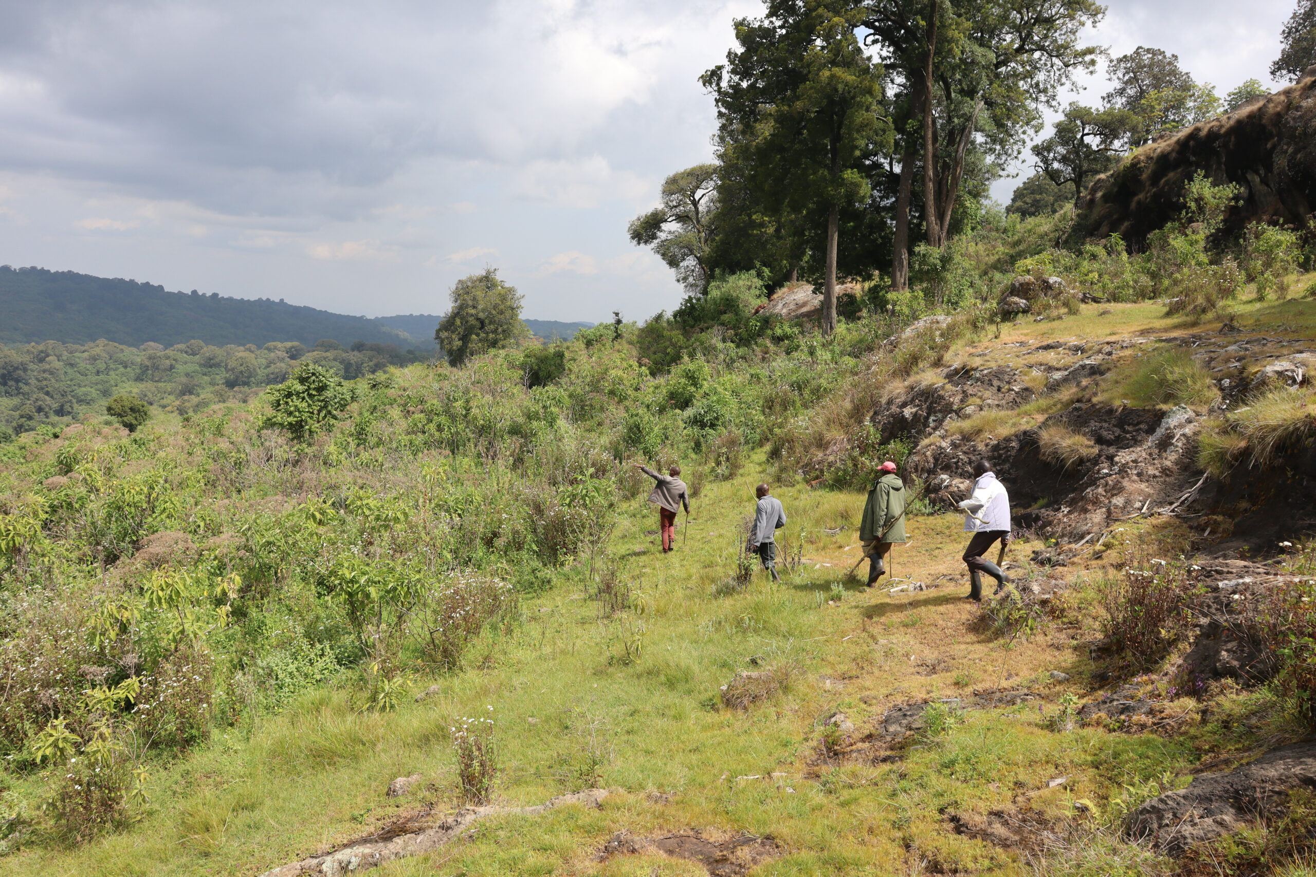
A monitor captures an elephant along a transect whilst biodiversity monitoring. Credit: CIPDP
The data offers insight into the condition of both flora and fauna and helps identify the interventions required to safeguard them. Its significance extends beyond the local because information generated on the ground by the community itself feeds into national and global biodiversity frameworks, ensuring that community-level data informs decision-making at far wider scales.
The next cycle is scheduled for September 2026. Its impact is cumulative, reinforcing community conservation efforts over the long term. The activity is carried out under the Transformative Pathways project.

A community monitor measuring bamboo health in a quadrat. Credit: CIPDP