This film is made by six indigenous filmmakers from Asia, Latin America and Africa, about mapping and monitoring in indigenous territories. The film is designed to raise community awareness and looks into ancestral and technological approaches to mapping and monitoring, as well as the benefits and challenges of mapping and monitoring and ways to minimize these challenges.
An introductory film about participatory biodiversity mapping and monitoring, designed to raise community awareness of the history and current context of mapping and monitoring, as well as to share useful information on how best to map and monitor in practice.
The film looks into:
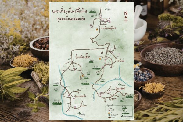
- Mapping – What is mapping? What are the benefits (eg. as a tool for mobilization, genuine participation, can help provide wider perspective); What are the risks (eg. colonial past, can cause divisions, can reveal extractible resources, drawing hard lines around fluid knowledge) and how to limit risks (eg. data controlled locally, protecting intellectual property). What are the results for communities of mapping their lands.
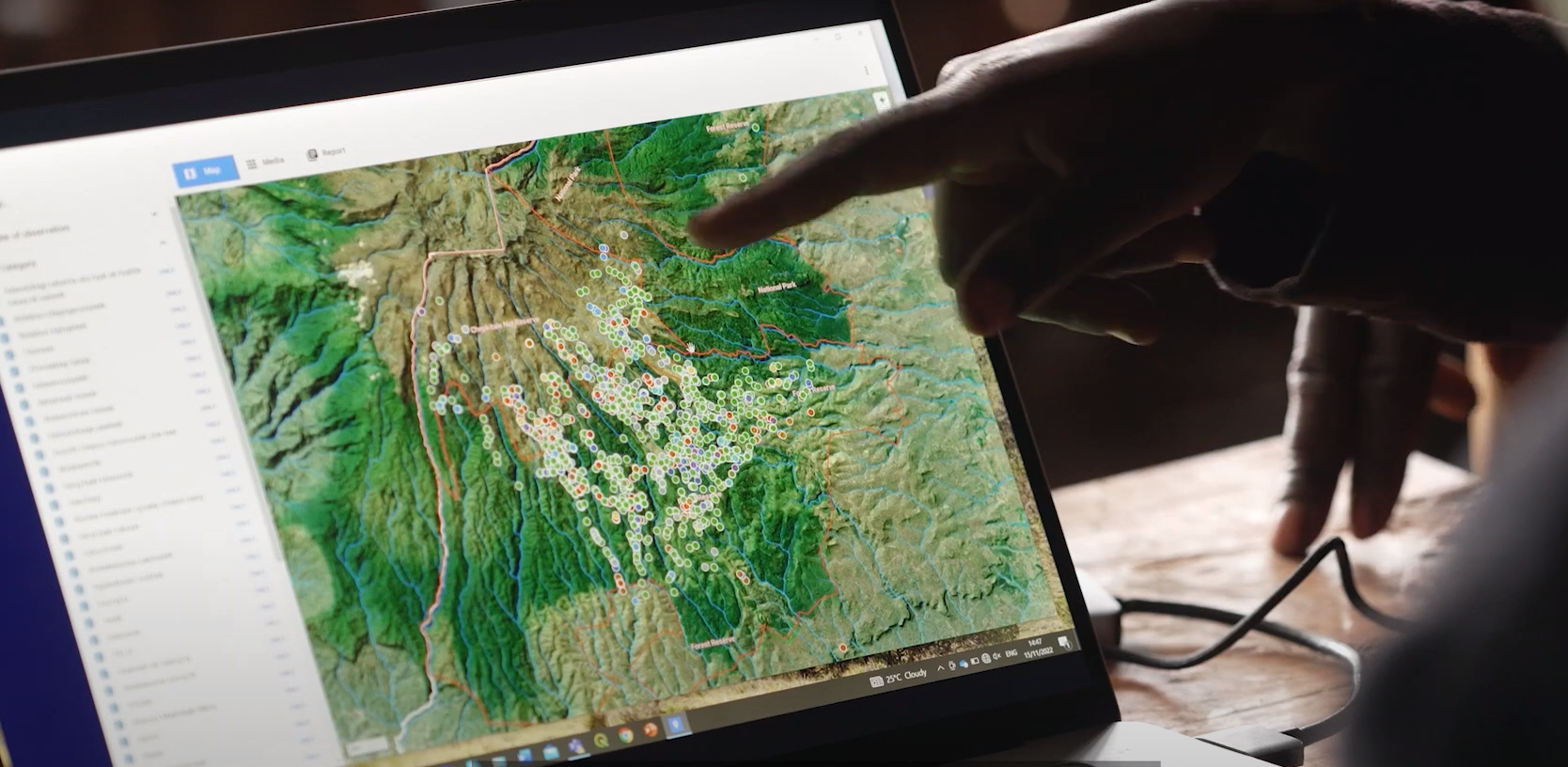
- Monitoring – An overview of participatory biodiversity monitoring. What is it? Why does it happen / purpose? What does it involve? Monitoring methods, technologies and trade-offs (diaries, participatory maps, camera traps, transects, seasonal calendars) What should be monitored? Can it have negative impacts? What are the common challenges? What are the results for communities of monitoring their lands.
This film is also available in Spanish, Thai, Swahili and Bahasa Indonesia
Type: Video
Region: Africa, The Americas, Asia
Theme: Community-led conservation; Land and resource rights; Biodiversity Monitoring; Traditional and local knowledge
Partner: LifeMosaic
Dashed line