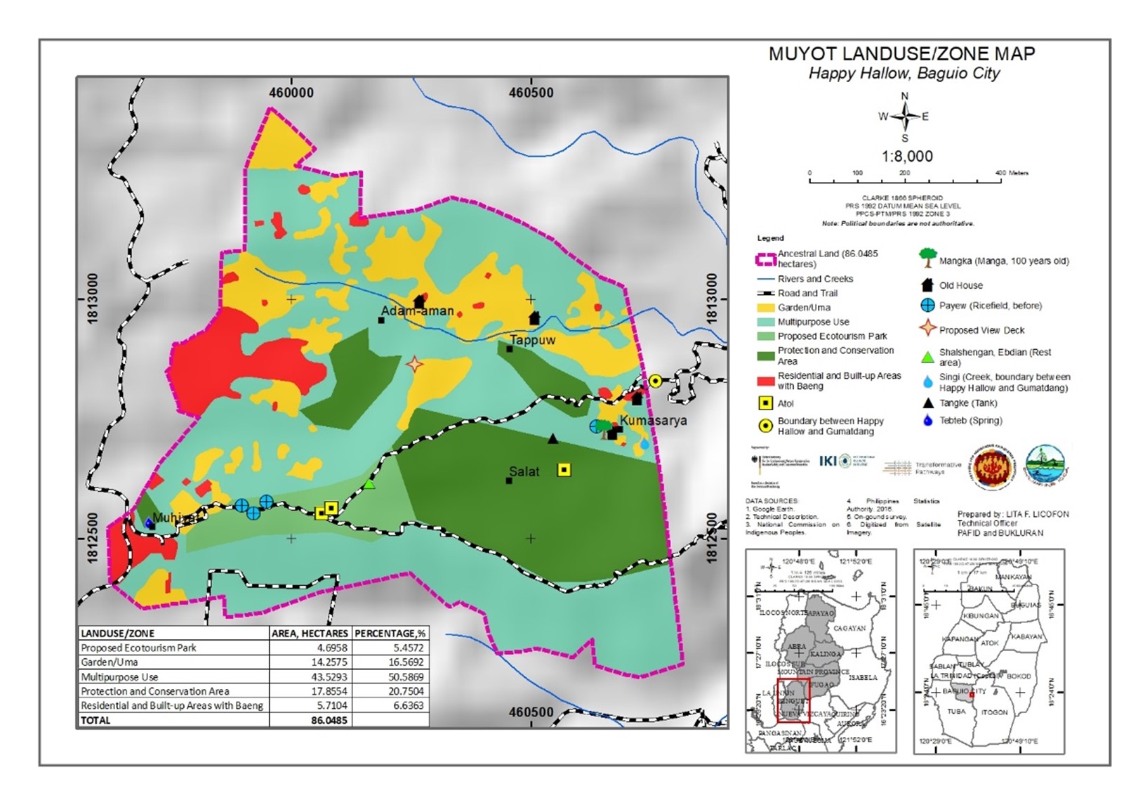
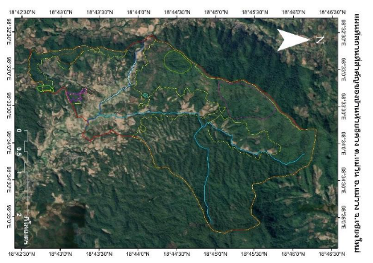
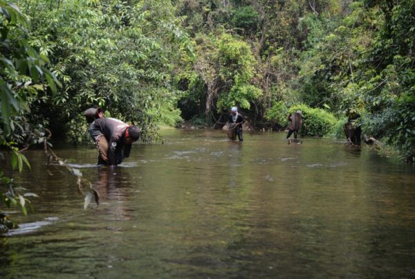
Ibaloy landowners have completed their participatory community mapping and resource inventory of their ancestral lands in Muyot, Happy Hallow, Baguio City. The maps show the current land use, forests, agricultural lands, residential lots, significant cultural sites, ancestral land claims, water sources and target conservation areas. The resource inventory revealed that the community is still rich in biodiversity, as one of the few remaining forests and watersheds in the city, although it is now under threat from outside interests.
Accompanying the maps are stories of their community history, cultural practices, indigenous values and challenges in the face of rapid urban development. The stories underscore the importance of keeping alive indigenous peoples’ traditional knowledge, values and practices in conserving the land and resources of the community for future generations.
The maps, inventory and stories were done through the joint efforts of the Muyot community, Partners for Indigenous Knowledge Philippines (PIKP), and Bukluran (Philippine ICCA Consortium) under the Community-based Monitoring and Information System (CBMIS) component of the Transformative Pathways project. The information gathered will be used to guide the community’s conservation and development plans and monitoring, in contribution to the wider sustainability plan being initiated by the local government of Baguio.
Type: Blog
Region: Asia
Country: Philippines
Theme: Biodiversity monitoring, Community-led conservation and Traditional and local knowledge
Partner: Partners for Indigenous Knowledge Philippines (PIKP)